
Sayin topographic map
Interactive map
Click on the map to display elevation.
About this map
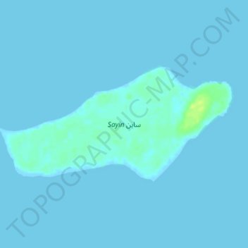
Name: Sayin topographic map, elevation, terrain.
Location: Sayin, Semien-Keih-Bahri, Érythrée (15.81086 40.25116 15.82710 40.28764)
Average elevation: 1 m
Minimum elevation: -1 m
Maximum elevation: 14 m
Other topographic maps
Click on a map to view its topography, its elevation and its terrain.
دهلك كبير Dahlak Kebir
دهلك كبير Dahlak Kebir, Semien-Keih-Bahri, Érythrée
Average elevation: 3 m