
Segala topographic map
Interactive map
Click on the map to display elevation.
About this map
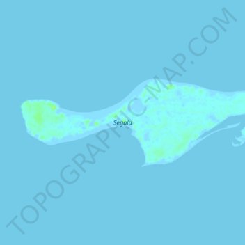
Name: Segala topographic map, elevation, terrain.
Location: Segala, Semien-Keih-Bahri, Érythrée (15.73433 40.72305 15.75175 40.77312)
Average elevation: 0 m
Minimum elevation: -6 m
Maximum elevation: 10 m
Other topographic maps
Click on a map to view its topography, its elevation and its terrain.
دهلك كبير Dahlak Kebir
دهلك كبير Dahlak Kebir, Semien-Keih-Bahri, Érythrée
Average elevation: 3 m