
El Behaier topographic map
Interactive map
Click on the map to display elevation.
About this map
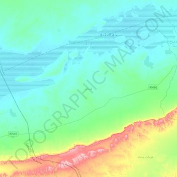
Name: El Behaier topographic map, elevation, terrain.
Location: El Behaier, El Hamma, Gabès, 6062, Tunisie (33.70829 9.27221 33.97094 9.67872)
Average elevation: 100 m
Minimum elevation: 19 m
Maximum elevation: 457 m
Other topographic maps
Click on a map to view its topography, its elevation and its terrain.