
Oudref topographic map
Interactive map
Click on the map to display elevation.
About this map
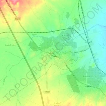
Name: Oudref topographic map, elevation, terrain.
Location: Oudref, Ouedhref Sud, El Metouia, Gabès, 6052, Tunisie (33.94388 9.92894 34.02388 10.00894)
Average elevation: 34 m
Minimum elevation: 5 m
Maximum elevation: 83 m