
Kochkor River topographic map
Interactive map
Click on the map to display elevation.
About this map
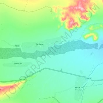
Name: Kochkor River topographic map, elevation, terrain.
Location: Kochkor River, Naryn Region, Kyrgyzstan (42.20553 75.57163 42.21475 75.67648)
Average elevation: 1,888 m
Minimum elevation: 1,828 m
Maximum elevation: 2,060 m
Other topographic maps
Click on a map to view its topography, its elevation and its terrain.
Kochkor
Kyrgyzstan > Naryn Region > Kochkor
Kochkor, Naryn Region, 722800, Kyrgyzstan
Average elevation: 1,822 m
Sarychat glacier
Sarychat glacier, Naryn Region, Kyrgyzstan
Average elevation: 4,217 m