
Sarychat glacier topographic map
Interactive map
Click on the map to display elevation.
About this map
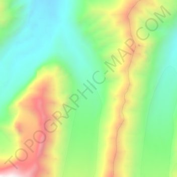
Name: Sarychat glacier topographic map, elevation, terrain.
Location: Sarychat glacier, Naryn Region, Kyrgyzstan (41.02999 77.54290 41.07193 77.56075)
Average elevation: 4,217 m
Minimum elevation: 3,758 m
Maximum elevation: 4,952 m
Other topographic maps
Click on a map to view its topography, its elevation and its terrain.
Kochkor
Kyrgyzstan > Naryn Region > Kochkor
Kochkor, Naryn Region, 722800, Kyrgyzstan
Average elevation: 1,822 m
Kochkor River
Kochkor River, Naryn Region, Kyrgyzstan
Average elevation: 1,888 m