
Bandō topographic map
Interactive map
Click on the map to display elevation.
About this map
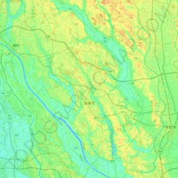
Name: Bandō topographic map, elevation, terrain.
Location: Bandō, Präfektur Ibaraki, Kantō, Japan (35.97024 139.82016 36.15509 139.95917)
Average elevation: 16 m
Minimum elevation: 2 m
Maximum elevation: 34 m
Other topographic maps
Click on a map to view its topography, its elevation and its terrain.
下平塚
Japan > Präfektur Ibaraki > Tsukuba > 下平塚
下平塚, Tsukuba, Präfektur Ibaraki, Kantō, 3050817, Japan
Average elevation: 27 m