
下平塚 topographic map
Interactive map
Click on the map to display elevation.
About this map
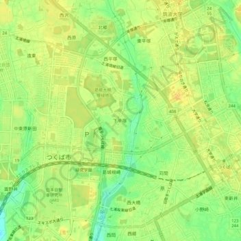
Name: 下平塚 topographic map, elevation, terrain.
Location: 下平塚, Tsukuba, Präfektur Ibaraki, Kantō, 3050817, Japan (36.06925 140.07002 36.10925 140.11002)
Average elevation: 27 m
Minimum elevation: 11 m
Maximum elevation: 36 m