
Nawagamuwa topographic map
Interactive map
Click on the map to display elevation.
About this map
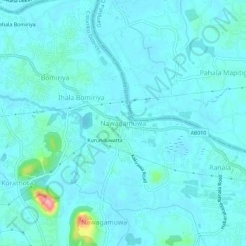
Name: Nawagamuwa topographic map, elevation, terrain.
Location: Nawagamuwa, Colombo District, Western Province, 10640, Sri Lanka (6.90431 79.99843 6.94431 80.03843)
Average elevation: 15 m
Minimum elevation: 2 m
Maximum elevation: 122 m
Other topographic maps
Click on a map to view its topography, its elevation and its terrain.