
Thank you for supporting this site ❤️
Make a donation
Make a donation
Wichita County topographic map
Click on the map to display elevation.
Thank you for supporting this site ❤️
Make a donation
Make a donation
About this map
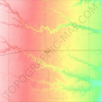
Name: Wichita County topographic map, elevation, terrain.
Location: Wichita County, Kansas, United States (38.26314 -101.56750 38.70018 -101.12540)
Average elevation: 1,004 m
Minimum elevation: 916 m
Maximum elevation: 1,080 m
Thank you for supporting this site ❤️
Make a donation
Make a donation
Other topographic maps
Click on a map to view its topography, its elevation and its terrain.