
Liège topographic map
Interactive map
Click on the map to display elevation.
About this map
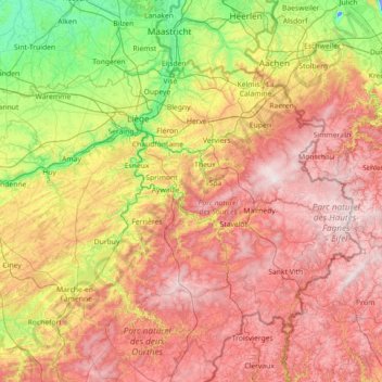
Name: Liège topographic map, elevation, terrain.
Location: Liège, Wallonia, Belgium (50.12956 4.97931 50.81212 6.40810)
Average elevation: 310 m
Minimum elevation: -15 m
Maximum elevation: 702 m
Other topographic maps
Click on a map to view its topography, its elevation and its terrain.