
Jahangirpur topographic map
Interactive map
Click on the map to display elevation.
About this map
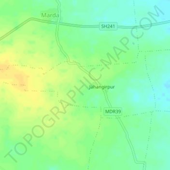
Name: Jahangirpur topographic map, elevation, terrain.
Location: Jahangirpur, Teosa, Amravati, Maharashtra, India (20.95431 78.08434 20.96597 78.11593)
Average elevation: 305 m
Minimum elevation: 293 m
Maximum elevation: 316 m
Other topographic maps
Click on a map to view its topography, its elevation and its terrain.
Bhiwapur
India > Maharashtra > Teosa
Bhiwapur, Teosa, Amravati, Maharashtra, India
Average elevation: 358 m