
Franière topographic map
Interactive map
Click on the map to display elevation.
About this map
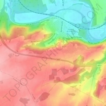
Name: Franière topographic map, elevation, terrain.
Location: Franière, Floreffe, Namur, Wallonien, 5150, Belgien (50.41279 4.69518 50.44458 4.74883)
Average elevation: 153 m
Minimum elevation: 80 m
Maximum elevation: 208 m
Other topographic maps
Click on a map to view its topography, its elevation and its terrain.