
Sayla topographic map
Interactive map
Click on the map to display elevation.
About this map
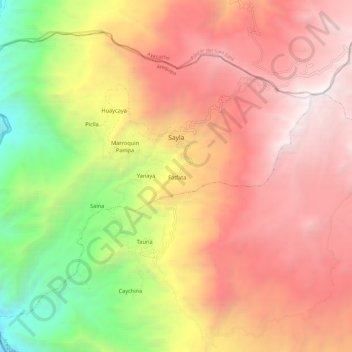
Name: Sayla topographic map, elevation, terrain.
Location: Sayla, Province of La Unión, Arequipa, Peru (-15.38039 -73.29380 -15.28609 -73.17455)
Average elevation: 3,428 m
Minimum elevation: 1,361 m
Maximum elevation: 5,033 m
Other topographic maps
Click on a map to view its topography, its elevation and its terrain.