
Tada topographic map
Interactive map
Click on the map to display elevation.
About this map
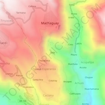
Name: Tada topographic map, elevation, terrain.
Location: Tada, Province of Castilla, Arequipa, Peru (-15.68175 -72.52437 -15.64175 -72.48437)
Average elevation: 2,868 m
Minimum elevation: 2,240 m
Maximum elevation: 3,343 m