
Hohenfels topographic map
Interactive map
Click on the map to display elevation.
About this map
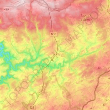
Name: Hohenfels topographic map, elevation, terrain.
Location: Hohenfels, Bastogne, Luxemburg, Wallonien, Belgien (50.06159 5.65189 50.23613 5.89551)
Average elevation: 463 m
Minimum elevation: 254 m
Maximum elevation: 642 m
Other topographic maps
Click on a map to view its topography, its elevation and its terrain.
Cobreville
Belgien > Luxemburg > Bastogne
Cobreville, Nives, Vaux-sur-Sûre, Bastogne, Luxemburg, Wallonien, 6640, Belgien
Average elevation: 455 m