
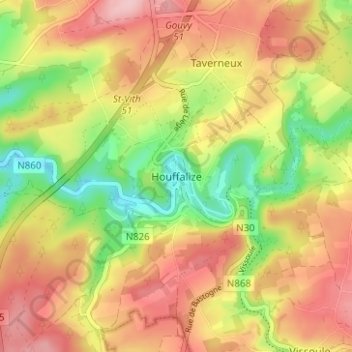
Hohenfels topographic map
Interactive map
Click on the map to display elevation.
About this map
Name: Hohenfels topographic map, elevation, terrain.
Location: Hohenfels, Bastogne, Luxemburg, Wallonien, Belgien (50.11238 5.76869 50.15238 5.80869)
Average elevation: 405 m
Minimum elevation: 317 m
Maximum elevation: 480 m