
Thank you for supporting this site ❤️
Make a donation
Make a donation
Svay Rieng topographic map
Click on the map to display elevation.
Thank you for supporting this site ❤️
Make a donation
Make a donation
About this map
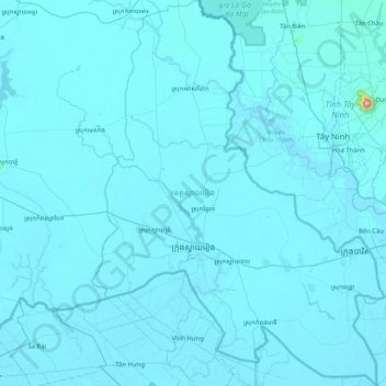
Name: Svay Rieng topographic map, elevation, terrain.
Location: Svay Rieng, Cambodia (10.78891 105.57965 11.59961 106.20612)
Average elevation: 9 m
Minimum elevation: -1 m
Maximum elevation: 944 m
Thank you for supporting this site ❤️
Make a donation
Make a donation
Other topographic maps
Click on a map to view its topography, its elevation and its terrain.