
Thank you for supporting this site ❤️
Make a donation
Make a donation
Phnom Kulen topographic map
Click on the map to display elevation.
Thank you for supporting this site ❤️
Make a donation
Make a donation
About this map
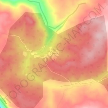
Name: Phnom Kulen topographic map, elevation, terrain.
Location: Phnom Kulen, Svay Leu District, Siem Reap, Cambodia (13.54587 104.09106 13.58587 104.13106)
Average elevation: 308 m
Minimum elevation: 143 m
Maximum elevation: 369 m
Thank you for supporting this site ❤️
Make a donation
Make a donation