
Morra topographic map
Interactive map
Click on the map to display elevation.
About this map
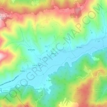
Name: Morra topographic map, elevation, terrain.
Location: Morra, Città di Castello, Perugia, Umbrië, Italië (43.36520 12.11020 43.40520 12.15020)
Average elevation: 426 m
Minimum elevation: 277 m
Maximum elevation: 686 m
Other topographic maps
Click on a map to view its topography, its elevation and its terrain.
Città di Castello
Italië > Umbrië > Perugia > Città di Castello
Città di Castello, Perugia, Umbrië, Italië
Average elevation: 504 m