
Tisri topographic map
Interactive map
Click on the map to display elevation.
About this map
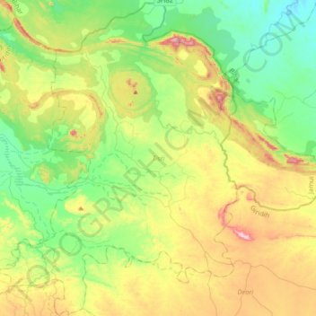
Name: Tisri topographic map, elevation, terrain.
Location: Tisri, Giridih, Jharkhand, India (24.48492 85.88785 24.77976 86.13187)
Average elevation: 274 m
Minimum elevation: 112 m
Maximum elevation: 587 m
Other topographic maps
Click on a map to view its topography, its elevation and its terrain.