
Thank you for supporting this site ❤️
Make a donation
Make a donation
Jordan topographic map
Click on the map to display elevation.
Thank you for supporting this site ❤️
Make a donation
Make a donation
About this map
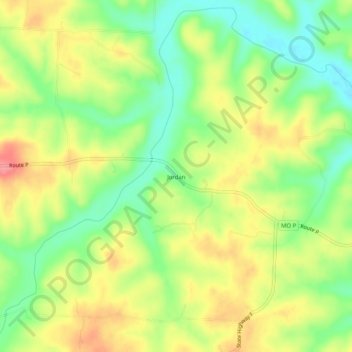
Name: Jordan topographic map, elevation, terrain.
Location: Jordan, Hickory County, Missouri, United States (38.00142 -93.16131 38.04142 -93.12131)
Average elevation: 277 m
Minimum elevation: 236 m
Maximum elevation: 321 m
Thank you for supporting this site ❤️
Make a donation
Make a donation
Other topographic maps
Click on a map to view its topography, its elevation and its terrain.