
Holzbachschlucht topographic map
Interactive map
Click on the map to display elevation.
About this map
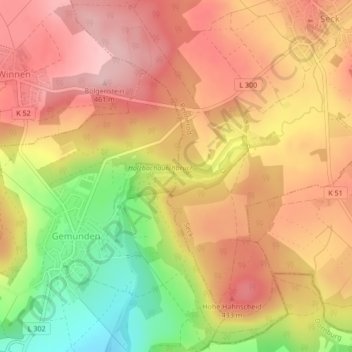
Name: Holzbachschlucht topographic map, elevation, terrain.
Average elevation: 384 m
Minimum elevation: 265 m
Maximum elevation: 460 m
Other topographic maps
Click on a map to view its topography, its elevation and its terrain.
Seck
Germany > Rhineland-Palatinate > Westerwaldkreis > Seck
Seck, Rennerod, Westerwaldkreis, Rhineland-Palatinate, Germany
Average elevation: 416 m