
Thank you for supporting this site ❤️
Make a donation
Make a donation
Seck topographic map
Click on the map to display elevation.
Thank you for supporting this site ❤️
Make a donation
Make a donation
About this map
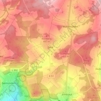
Name: Seck topographic map, elevation, terrain.
Location: Seck, Rennerod, Westerwaldkreis, Rhineland-Palatinate, Germany (50.55169 8.01489 50.59848 8.05913)
Average elevation: 416 m
Minimum elevation: 268 m
Maximum elevation: 495 m
Thank you for supporting this site ❤️
Make a donation
Make a donation
Other topographic maps
Click on a map to view its topography, its elevation and its terrain.