
Bouro (Santa Marta) topographic map
Interactive map
Click on the map to display elevation.
About this map
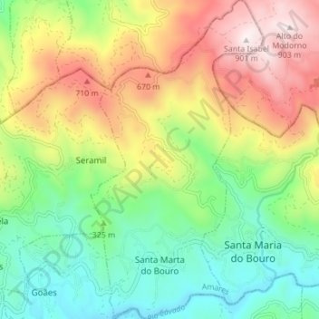
Name: Bouro (Santa Marta) topographic map, elevation, terrain.
Location: Bouro (Santa Marta), Amares, Braga, Portugal (41.64853 -8.30523 41.70017 -8.26780)
Average elevation: 384 m
Minimum elevation: 37 m
Maximum elevation: 897 m
Other topographic maps
Click on a map to view its topography, its elevation and its terrain.