
Frecheiro topographic map
Interactive map
Click on the map to display elevation.
About this map
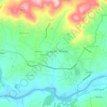
Name: Frecheiro topographic map, elevation, terrain.
Location: Frecheiro, Amares, Braga, 4720-057, Portugal (41.61014 -8.37596 41.65014 -8.33596)
Average elevation: 115 m
Minimum elevation: 23 m
Maximum elevation: 319 m
Other topographic maps
Click on a map to view its topography, its elevation and its terrain.