
Thank you for supporting this site ❤️
Make a donation
Make a donation
Sarwal topographic map
Click on the map to display elevation.
Thank you for supporting this site ❤️
Make a donation
Make a donation
About this map
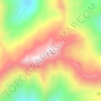
Name: Sarwal topographic map, elevation, terrain.
Location: Sarwal, Chhatroo, Kishtwar, Jammu and Kashmir, India (33.56015 75.68051 33.56025 75.68061)
Average elevation: 4,075 m
Minimum elevation: 3,659 m
Maximum elevation: 4,443 m
Thank you for supporting this site ❤️
Make a donation
Make a donation