
Thank you for supporting this site ❤️
Make a donation
Make a donation
LaRue topographic map
Click on the map to display elevation.
Thank you for supporting this site ❤️
Make a donation
Make a donation
About this map
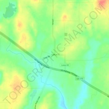
Name: LaRue topographic map, elevation, terrain.
Location: LaRue, Henderson County, Texas, 75770, United States (32.09682 -95.69468 32.13682 -95.65468)
Average elevation: 149 m
Minimum elevation: 127 m
Maximum elevation: 177 m
Thank you for supporting this site ❤️
Make a donation
Make a donation
Other topographic maps
Click on a map to view its topography, its elevation and its terrain.