
Thank you for supporting this site ❤️
Make a donation
Make a donation
Moore Station topographic map
Click on the map to display elevation.
Thank you for supporting this site ❤️
Make a donation
Make a donation
About this map
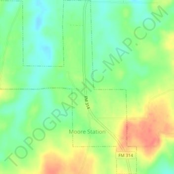
Name: Moore Station topographic map, elevation, terrain.
Location: Moore Station, Henderson County, Texas, United States (32.17458 -95.58447 32.20411 -95.55699)
Average elevation: 132 m
Minimum elevation: 110 m
Maximum elevation: 160 m
Thank you for supporting this site ❤️
Make a donation
Make a donation
Other topographic maps
Click on a map to view its topography, its elevation and its terrain.