
Lingala topographic map
Interactive map
Click on the map to display elevation.
About this map
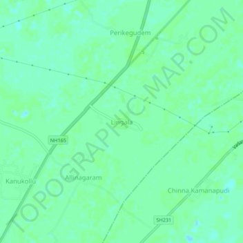
Name: Lingala topographic map, elevation, terrain.
Location: Lingala, Krishna, Andhra Pradesh, 521345, India (16.45010 81.12953 16.49010 81.16953)
Average elevation: 5 m
Minimum elevation: -1 m
Maximum elevation: 7 m
Other topographic maps
Click on a map to view its topography, its elevation and its terrain.
Lingala
India > Andhra Pradesh > Lingala
Lingala, Krishna, Andhra Pradesh, India
Average elevation: 83 m