
Lingala topographic map
Interactive map
Click on the map to display elevation.
About this map
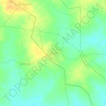
Name: Lingala topographic map, elevation, terrain.
Location: Lingala, Krishna, Andhra Pradesh, India (17.01355 80.49650 17.05355 80.53650)
Average elevation: 83 m
Minimum elevation: 70 m
Maximum elevation: 99 m
Other topographic maps
Click on a map to view its topography, its elevation and its terrain.
Lingala
India > Andhra Pradesh > Lingala
Lingala, Krishna, Andhra Pradesh, 521345, India
Average elevation: 5 m