
Beyernaumburg topographic map
Interactive map
Click on the map to display elevation.
About this map
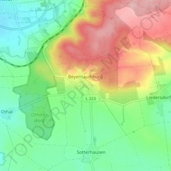
Name: Beyernaumburg topographic map, elevation, terrain.
Average elevation: 233 m
Minimum elevation: 170 m
Maximum elevation: 328 m
Other topographic maps
Click on a map to view its topography, its elevation and its terrain.
Winkel
Duitsland > Saksen-Anhalt > Mansfeld-Südharz > Allstedt
Winkel, Allstedt, Mansfeld-Südharz, Saksen-Anhalt, Duitsland
Average elevation: 245 m