
Thank you for supporting this site ❤️
Make a donation
Make a donation
Winkel topographic map
Click on the map to display elevation.
Thank you for supporting this site ❤️
Make a donation
Make a donation
About this map
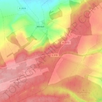
Name: Winkel topographic map, elevation, terrain.
Location: Winkel, Allstedt, Mansfeld-Südharz, Saksen-Anhalt, Duitsland (51.36901 11.43417 51.41904 11.50313)
Average elevation: 245 m
Minimum elevation: 154 m
Maximum elevation: 297 m
Thank you for supporting this site ❤️
Make a donation
Make a donation