
Thank you for supporting this site ❤️
Make a donation
Make a donation
lut lake topographic map
Click on the map to display elevation.
Thank you for supporting this site ❤️
Make a donation
Make a donation
About this map
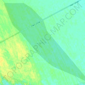
Name: lut lake topographic map, elevation, terrain.
Average elevation: 262 m
Minimum elevation: 254 m
Maximum elevation: 276 m
Thank you for supporting this site ❤️
Make a donation
Make a donation
Other topographic maps
Click on a map to view its topography, its elevation and its terrain.
Lut Desert
Iran > Kerman Province > Kerman County > دهستان تکاب
The eastern part of Dasht-e Lut is a low plateau covered with salt flats with lowest elevations around 110 m above sea level (30.398609 N, 58.493041 E). In contrast, the center has been sculpted by the wind into a series of parallel ridges and furrows, extending over 150 km (93 mi) and reaching 75 metres (246…
Average elevation: 709 m