
Windeggli topographic map
Interactive map
Click on the map to display elevation.
About this map
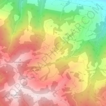
Name: Windeggli topographic map, elevation, terrain.
Location: Windeggli, Altendorf, March, Schwyz, Schweiz (47.16050 8.83208 47.16091 8.83300)
Average elevation: 995 m
Minimum elevation: 617 m
Maximum elevation: 1,277 m
Other topographic maps
Click on a map to view its topography, its elevation and its terrain.
Rinderweidhoren
Schweiz > Schwyz > March > Altendorf
Rinderweidhoren, Altendorf, March, Schwyz, 8846, Schweiz
Average elevation: 1,155 m