
Thank you for supporting this site ❤️
Make a donation
Make a donation
Belverde topographic map
Click on the map to display elevation.
Thank you for supporting this site ❤️
Make a donation
Make a donation
About this map
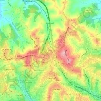
Name: Belverde topographic map, elevation, terrain.
Location: Belverde, Monteriggioni, Siena, Tuscany, 53100, Italy (43.32720 11.28512 43.36720 11.32512)
Average elevation: 316 m
Minimum elevation: 240 m
Maximum elevation: 394 m
Thank you for supporting this site ❤️
Make a donation
Make a donation
Other topographic maps
Click on a map to view its topography, its elevation and its terrain.