
Kruishaar topographic map
Interactive map
Click on the map to display elevation.
About this map
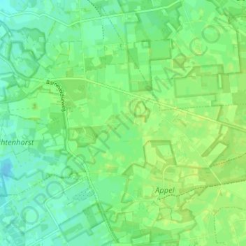
Name: Kruishaar topographic map, elevation, terrain.
Location: Kruishaar, Nijkerk, Gelderland, Nederland, 3862 PK, Nederland (52.18030 5.52022 52.22030 5.56022)
Average elevation: 9 m
Minimum elevation: 2 m
Maximum elevation: 15 m
Other topographic maps
Click on a map to view its topography, its elevation and its terrain.
Driedorp
Nederland > Gelderland > Nijkerk > Driedorp
Driedorp, Nijkerk, Gelderland, Nederland, 3862, Nederland
Average elevation: 7 m