
Driedorp topographic map
Interactive map
Click on the map to display elevation.
About this map
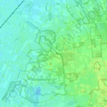
Name: Driedorp topographic map, elevation, terrain.
Location: Driedorp, Nijkerk, Gelderland, Nederland, 3862, Nederland (52.18687 5.49858 52.22687 5.53858)
Average elevation: 7 m
Minimum elevation: 2 m
Maximum elevation: 14 m