
Mbinga topographic map
Interactive map
Click on the map to display elevation.
About this map
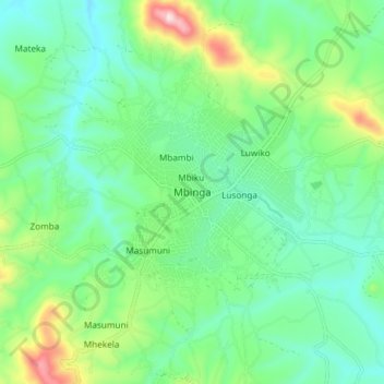
Name: Mbinga topographic map, elevation, terrain.
Location: Mbinga, Mbinga Town, Ruvuma, Südhochlandzone, Tansania (-10.98985 34.95675 -10.90985 35.03675)
Average elevation: 1,339 m
Minimum elevation: 1,215 m
Maximum elevation: 1,673 m
Other topographic maps
Click on a map to view its topography, its elevation and its terrain.