
Al Daayen topographic map
Interactive map
Click on the map to display elevation.
About this map
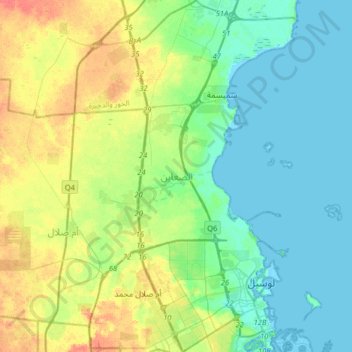
Name: Al Daayen topographic map, elevation, terrain.
Location: Al Daayen, Qatar (25.36470 51.40145 25.65509 51.59299)
Average elevation: 13 m
Minimum elevation: -2 m
Maximum elevation: 39 m
Other topographic maps
Click on a map to view its topography, its elevation and its terrain.