
Srinagar topographic map
Click on the map to display elevation.
About this map
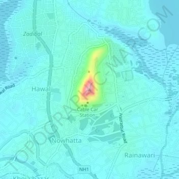
Name: Srinagar topographic map, elevation, terrain.
Average elevation: 1,598 m
Minimum elevation: 1,580 m
Maximum elevation: 1,737 m
Other topographic maps
Click on a map to view its topography, its elevation and its terrain.
Dal Lake
India > Jammu and Kashmir > Srīnagar > Srinagar
The average elevation of the lake is 1,583 metres (5,194 ft). The depth of water varies from 6 metres (20 ft) at its deepest in Nigeen lake to 2.5 metres (8.2 ft), the shallowest at Gagribal. The depth ratio between the maximum and minimum depths varies with the season between 0.29 and 0.25, which is…
Average elevation: 1,715 m