
Balfour topographic map
Interactive map
Click on the map to display elevation.
About this map
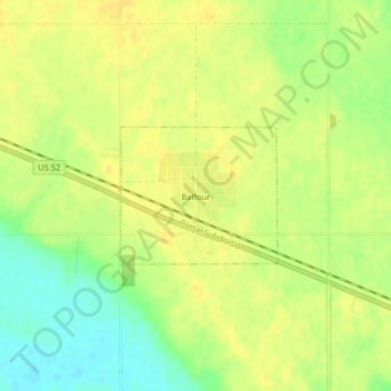
Name: Balfour topographic map, elevation, terrain.
Location: Balfour, McHenry County, North Dakota, United States (47.94701 -100.54237 47.95651 -100.52614)
Average elevation: 488 m
Minimum elevation: 472 m
Maximum elevation: 496 m
Other topographic maps
Click on a map to view its topography, its elevation and its terrain.
Upham
United States > North Dakota > McHenry County
Upham, McHenry County, North Dakota, United States
Average elevation: 441 m