
Upham topographic map
Interactive map
Click on the map to display elevation.
About this map
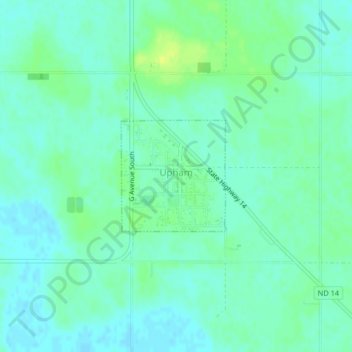
Name: Upham topographic map, elevation, terrain.
Location: Upham, McHenry County, North Dakota, United States (48.57700 -100.73471 48.58555 -100.72256)
Average elevation: 441 m
Minimum elevation: 435 m
Maximum elevation: 451 m
Other topographic maps
Click on a map to view its topography, its elevation and its terrain.
Balfour
United States > North Dakota > McHenry County
Balfour, McHenry County, North Dakota, United States
Average elevation: 488 m