
Minle County topographic map
Interactive map
Click on the map to display elevation.
About this map
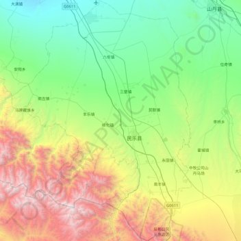
Name: Minle County topographic map, elevation, terrain.
Location: Minle County, Zhangye, Gansu, 734500, China (38.14771 100.38317 38.80585 101.01147)
Average elevation: 2,462 m
Minimum elevation: 1,532 m
Maximum elevation: 4,936 m
Other topographic maps
Click on a map to view its topography, its elevation and its terrain.