
Kolapakkam topographic map
Interactive map
Click on the map to display elevation.
About this map
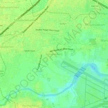
Name: Kolapakkam topographic map, elevation, terrain.
Location: Kolapakkam, Alandur, Chennai, Tamil Nadu, 600125, India (12.98971 80.13290 13.02971 80.17290)
Average elevation: 14 m
Minimum elevation: 4 m
Maximum elevation: 20 m
Other topographic maps
Click on a map to view its topography, its elevation and its terrain.