
Madang topographic map
Interactive map
Click on the map to display elevation.
About this map
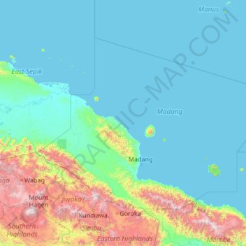
Name: Madang topographic map, elevation, terrain.
Location: Madang, Momase Region, Papua New Guinea (-6.00000 143.96912 -3.00000 148.28333)
Average elevation: 464 m
Minimum elevation: -2 m
Maximum elevation: 4,213 m
Other topographic maps
Click on a map to view its topography, its elevation and its terrain.
Port Moresby
Papua New Guinea > National Capital District > National Capital District
Average elevation: 34 m