
Mauna topographic map
Interactive map
Click on the map to display elevation.
About this map
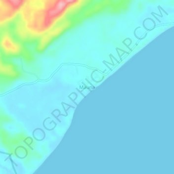
Name: Mauna topographic map, elevation, terrain.
Location: Mauna, East New Britain, Islands Region, Papua New Guinea (-5.86137 151.28273 -5.82137 151.32273)
Average elevation: 17 m
Minimum elevation: 0 m
Maximum elevation: 137 m