
Thank you for supporting this site ❤️
Make a donation
Make a donation
Braggs topographic map
Click on the map to display elevation.
Thank you for supporting this site ❤️
Make a donation
Make a donation
About this map
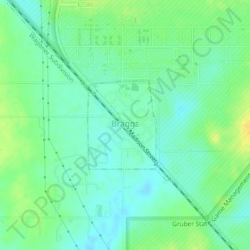
Name: Braggs topographic map, elevation, terrain.
Location: Braggs, Muskogee County, Oklahoma, 74423, United States (35.65848 -95.20301 35.66801 -95.19390)
Average elevation: 174 m
Minimum elevation: 164 m
Maximum elevation: 188 m
Thank you for supporting this site ❤️
Make a donation
Make a donation
Other topographic maps
Click on a map to view its topography, its elevation and its terrain.