
Lohar Majra Khurd topographic map
Interactive map
Click on the map to display elevation.
About this map
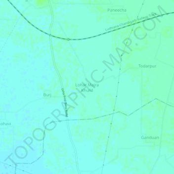
Name: Lohar Majra Khurd topographic map, elevation, terrain.
Average elevation: 275 m
Minimum elevation: 272 m
Maximum elevation: 279 m
Other topographic maps
Click on a map to view its topography, its elevation and its terrain.
Jatana Niwan
India > Punjab > Khamanon Tahsil
Jatana Niwan, Khamanon Tahsil, Fatehgarh Sahib District, Punjab, 141125, India
Average elevation: 273 m
Khamanon
India > Punjab > Khamanon Tahsil
Khamanon, Khamanon Tahsil, Fatehgarh Sahib District, Punjab, 141801, India
Average elevation: 274 m