
Khamanon topographic map
Interactive map
Click on the map to display elevation.
About this map
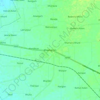
Name: Khamanon topographic map, elevation, terrain.
Average elevation: 274 m
Minimum elevation: 269 m
Maximum elevation: 280 m
Khamanon is located at 30°49′N 76°21′E / 30.82°N 76.35°E / 30.82; 76.35. It has an average elevation of 254 metres (833 feet).
Other topographic maps
Click on a map to view its topography, its elevation and its terrain.
Jatana Niwan
India > Punjab > Khamanon Tahsil
Jatana Niwan, Khamanon Tahsil, Fatehgarh Sahib District, Punjab, 141125, India
Average elevation: 273 m
Lohar Majra Khurd
India > Punjab > Khamanon Tahsil
Lohar Majra Khurd, Khamanon Tahsil, Fatehgarh Sahib District, Punjab, 140802, India
Average elevation: 275 m